Mighty Moe

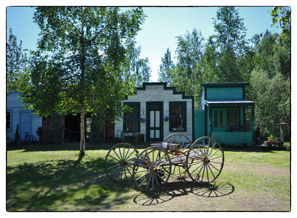
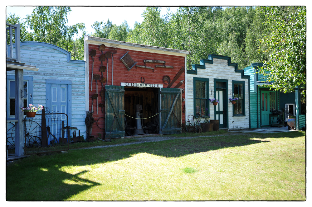
I attempted the trip I just finished back in 1986 but didn’t finish. We ran out of time and the roads were in a lot worse condition than they are now. In 1986 we ran into a man who ran a campground with some small “hoopty” cabins for rent. He said he would throw in a canoe for free if we wanted. We jumped on that. His name was Mighty Moe.

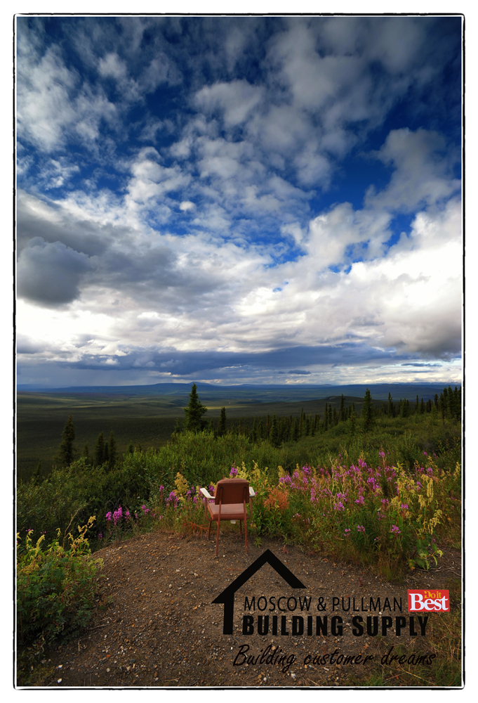
Last week, as Karen and I were driving down the Cassiar Highway, I thought about Mighty Moe. I knew he couldn’t still be with us. We never found his rental cabins, places up there come and go and the woods take back what was once theirs.

When I got home I “Googled” Mighty Moe and it seemed a lot of people had fond memories of him. He did leave us in 2008 so all I have left is a couple of photos from our visit. It was shot on film but has aged well. Rosie and I with Mighty Moe at his cabin. Inside was, lets say, a little scary.

From his obit:

Moe was born on August 26, 1934 in Swastika, Northern Ontario, the fourth of six children born to Alfred and Yvonne Beaudoin.
Growing up in a small railroad town, Moe was an outgoing and adventuresome youth.

Moe joined the work force at an early age. His first job was as a lookout for forest fires. He had many interesting jobs throughout his life, he cooked in mining and logging camps and aboard ships on the Great Lakes. He prospected in Ontario and B. C. and also worked on diamond drills in Alaska.

In the early 1970’s, Moe moved to Cassiar, B.C. working there until acquiring his tourist campground and trapline at Cottonwood Lake on the Dease River. There, Moe met tourists from the U.S., Germany, Japan and other countries. Many of his guests continued to correspond with him throughout his retirement years.

MightyMoewebMightyMoe2web

Advertisement

Mackenzie River crossing

Longer video of the Mackenzie River crossing a little before it dumps into the Arctic Ocean. The Mackenzie River is the largest and longest river system in Canada, and is exceeded only by the Mississippi River in North America. This is the only way to cross the river until the river freezes and becomes the ice road.  This crossing is a little more difficult because of the currents.  At the end you’ll see the boat use the current to “swing” into position.

The village you see across the river is Tsiigehtchic. It is a Gwich’in community located at the confluence of the Mackenzie and the Arctic Red River, in the Inuvik Region of the Northwest Territories, Canada. The population is 143 and is only accessible by ferry or float plane. The community is one of the few in the NWT not to be served by a permanent airport.

I’ve been asked about food prices, mainly produce. I’m a pepper guy so I checked. Here at home a bag of jalapenos may cost a couple dollars a pound or about .25 cents each. In Inuvik I priced them. Over 4 dollars each. That’s 4 dollars for one pepper! A small dinner salad was over 12 dollars.

Peel River crossing

This is a little longer video crossing the Peel River. The Peel River flows into the Arctic Ocean via the Mackenzie River and Beaufort Sea. Since there really is no road because of the permafrost and tundra then there are no bridges. There is only one way across the river and that’s by cable ferry. If you look off the right, in front of the ferry you can see the cable.

In the winter the ferry is beached and the river becomes the ice road you see on the show, Ice Road Truckers.  Sorry for the raw footage, I haven’t edited any of it up yet.  You can see me run off the ferry for a second, two camera shot.

Tundra road, always under repair

A few people asked how the road holds up being built on frozen tundra. The simple answer is, it doesn’t. It’s always under repair. It’s actually sort of an engineering marvel in the way it’s built. It basically floats on the permafrost. It’s basically layer and layer of gravel and shale. Short video passing a repair crew.